 Click to enlarge
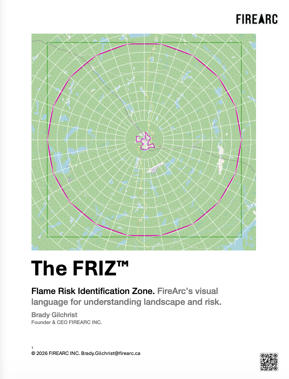
Fire Risk Identification Zones.
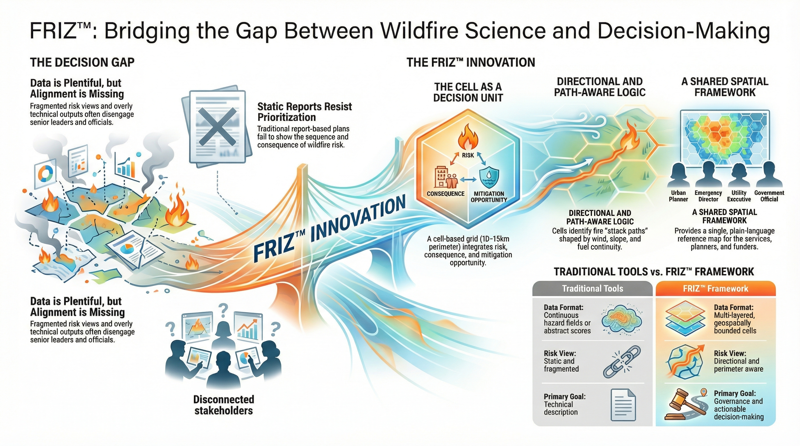
FRIZ removes ambiguity of place. It organizes information so that all stakeholders can instantly understand what is going on. A proprietary cell-based spatial framework that gives fire risk a unique address. FRIZ is the underlying grid system that makes HaloScout, HaloScan, EdgeScan, and SmartMoat analyses precisely locatable, reproducible, and defensible at any funding table.
Vague risk assessments produce vague mitigation plans. FRIZ gives fire risk a precise spatial address — enabling community-wide risk accounting, funding-grade documentation, and year-over-year progress tracking that satisfies both operational teams and administrative decision-makers.
Every FRIZ cell carries a unique identifier tied to geographic coordinates — enabling precise risk attribution, tracking, and reporting across any area of interest.
FRIZ outputs meet the evidentiary requirements of Ontario and federal wildfire mitigation funding programs — with spatial defensibility built in from the start.
Fixed cells make risk change measurable and attributable. Communities demonstrate mitigation effectiveness with spatial precision that satisfies audit requirements.
The FRIZ technical report: spatial addressing methodology, cell architecture, and integration with HaloScout and EdgeScan outputs.